

Editor
Celine Low chevron_right
Big news for everyone who relies on public transport to get around our bustling cities! Apple users in Malaysia can refer to the Maps app on their iPhones for real-time transit directions in key Malaysian urban centers.
Live Transit Directions
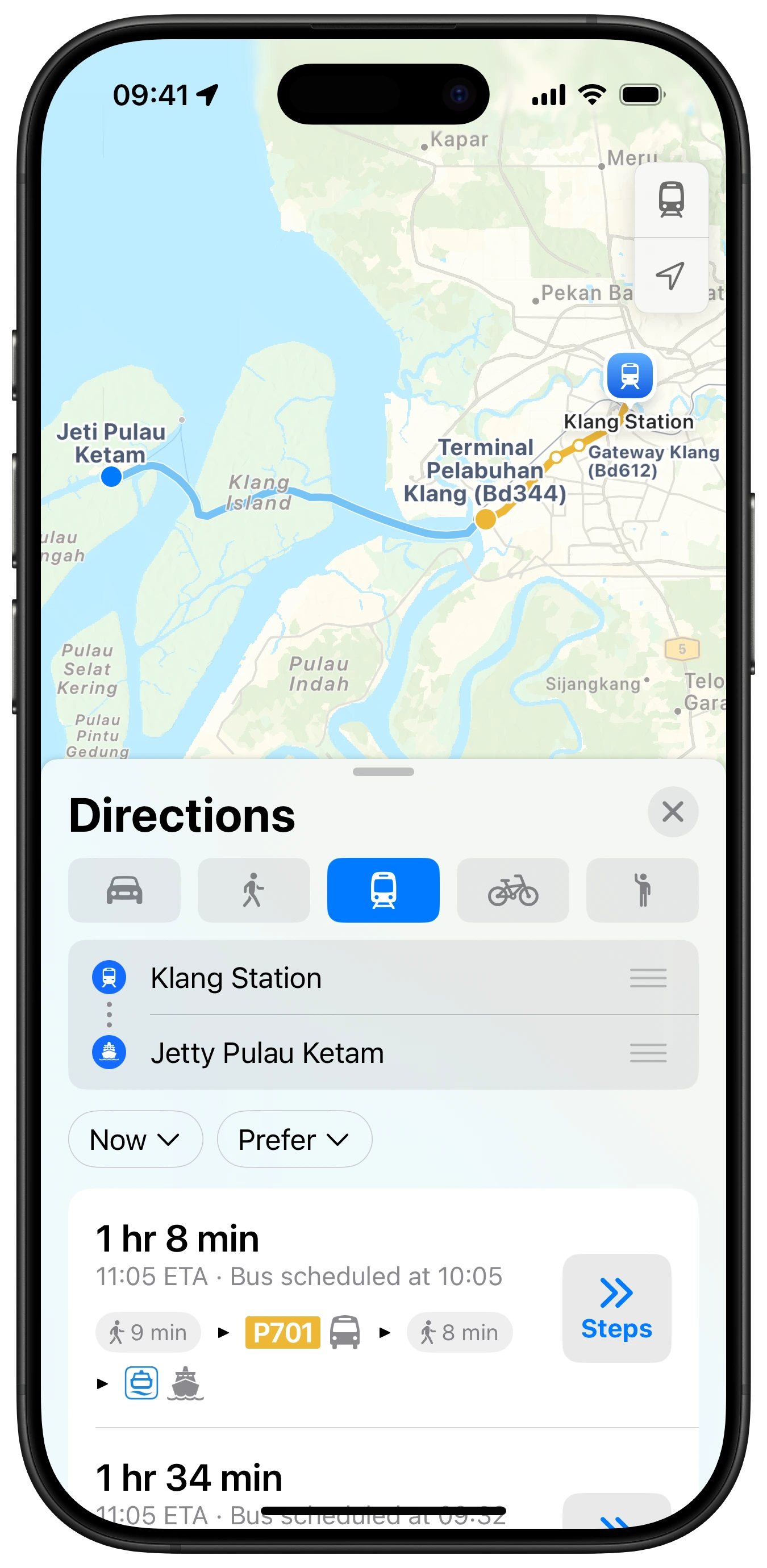
Apple Maps will now provide point-to-point directions for various public transport options like buses, light rail, and ferries across Kuala Lumpur, Penang, and Johor Bahru.
Beyond just showing you the best route to get around, the app will also display estimated times of arrival (ETAs) via transit, alongside scheduled times for various lines. So, you'll know exactly how to plan your journey.
Imagine that: no more frantic searches for bus routes on obscure websites, or guesswork about the next train's arrival.
Here Are The Transit Routes Offered:
For buses, you'll find directions for familiar names like rapidKL Bus, rapidPenang, GOKL City Bus, Bas Muafakat Johor, SMART Selangor, and even cross-border services like Singapore-Johore Express.
Taking to the waters? The ferries now include the Alibaba Pulau Ketam Ferry and the Penang Ferry. For those who prefer rail and light rail, the app covers the KLIA Ekspres and KLIA Transit, all your KTM Komuter and ETS (Electric Train Service) journeys, and every major LRT and MRT line crisscrossing the Klang Valley, from the Kelana Jaya Line to the new Putrajaya Line.
Beyond the everyday commute, Apple Maps now includes unique transit options like the Penang Hill Funicular Railway and the Resorts World Genting Gondola are also supported, making trip planning for leisure activities seamless too. This huge list makes it genuinely easier for us Malaysians to get from A to B, no matter how we travel.
Stay updated with ProductNation on here, Instagram & TikTok as well.
More tech news: